
Kingsport Neighbors by Block
A block-level search uses several public sources that serve different purposes. A parcel map can place an address among nearby parcels. TPAD can identify the assessed owner and parcel fields for one location at a time. A deed index helps with a recorded transfer when its legal description is needed. A voter tool can test an individual registration match. The City’s community resources are useful for public ways to take part, not for identifying every person around an address.
| Source | What It Shows About a Block | Access |
|---|---|---|
| Sullivan GIS and city map tools | Parcel geometry, map context, and possible parcel identifiers around a known address | Public map; live parcel pop-up details were not inspected |
| TPAD assessment search | Assessed owner, property address, parcel components, subdivision, class, and sale clues | Public search, assessor phone, or counter |
| Register of Deeds | Recorded parties, transfer date, legal description, book or page, plats, and related instruments | Online lead plus counter and older books |
| GoVoteTN | Election information for a known voter searched by name or address and ZIP | Individual tool, not a block roster |
| Palmer Room and archives | Historical directory, telephone, newspaper, and local-history clues | Library or archive route; exact reverse-directory runs need confirmation |
An assessed owner is not automatically the person who lives at a parcel. The owner can be an entity, estate, trust, or person with a different mailing address. Likewise, a map can show the place of a parcel but cannot prove a current household. Use the record’s own date and field labels, and leave unanswered questions unanswered.
Kingsport Neighbors and Parcel Maps
Map research is a practical way to understand the physical block around a known address. Sullivan’s GIS is an ArcGIS web map centered on the Kingsport area, and city materials describe address entry and map-layer selection for planning information. The inspected research did not confirm a named adjacent-parcel command, buffer function, or particular layer. Treat the map as a visual parcel clue: find the address, inspect the displayed parcel context, note identifiers that appear, and confirm each parcel through TPAD or the Register of Deeds.
The Kingsport interactive neighborhood map provides the public map starting point for this local context.
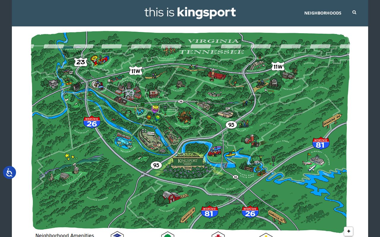
Map lines and layers help organize a search, yet city map materials warn that maps prepared for internal GIS purposes are not warranted for parcel boundaries or dimensions. A deed’s legal description controls title boundaries. Where a subdivision, replat, annexation, or old street name is involved, use the parcel identifier and legal description rather than relying on what a line seems to show.
Kingsport Neighbor Owner Myth
TPAD is the strongest inspected address-keyed source for a Kingsport block. Its main search accepts a property address, owner name, or parcel ID. Advanced search also offers owner, property address, subdivision name, classification, sale-date range, and control map, group, and parcel components. A search result can be sorted by owner name, property address, parcel ID, subdivision, classification, or sale date. Those options make it possible to identify one parcel at a time after the map provides a starting location.
TPAD’s visible table shows owner, property address, control map, group, parcel, special interest, parcel ID, subdivision, lot, class, and sale date. Mailing address, situs, value, exemption, sketch, and legal-description details were not confirmed in the inspected text result, so they should be checked on the live detail route or with the assessor. A mailing address that differs from the property address does not establish who receives mail or who is present at the property.
For a recorded transfer, use the current owner as a possible grantee in the deed index, then read the legal description and prior deed reference before going backward. The county’s online coverage details and image access terms need confirmation with the Register of Deeds. Older books and non-indexed series remain a counter or archive question.
Kingsport Neighbor Voter Limits
Tennessee’s individual voter tools help confirm election information for a known person. The state lookup requires county, first name, last name, birth month, and birth year. GoVoteTN offers a name path with first and last name, plus an optional ZIP, and an address path with street address and ZIP. It can return information such as a polling place, districts, officials, sample ballot, and ballot information. It is not designed as a street-wide or block-wide list.
Voter-registration records are public records for Tennessee citizens, subject to exclusions. Social Security numbers, driver-license numbers, and Department of Safety IDs are withheld. Ballot choices are not public, and protected addresses must not be reverse-engineered. County voter lists and voter history, if compiled, may be available under T.C.A. §2-2-138 at no more than production cost, but the state or county can require certification and permitted-use terms. The Sullivan request form, file format, fee, and production time were not located in the reviewed official materials.
A no-result message is a prompt to check the entry and contact the Sullivan County Election Commission. It is not proof that a person has left Kingsport. Status and address information can change through ordinary list maintenance.
Kingsport Neighborhood Commission Contacts
Public community resources can help someone learn how a Kingsport neighborhood organizes itself without turning the search into a private roster. The Neighborhood Commission page offers a public map and meeting information, and its current page carries a pause notice. The Neighborhood Toolbox says associations and neighborhood watches are self-formed. It describes a committed group, boundaries, a plan, committees, communication, law-enforcement contact, a map, and coordinators or block captains. The City does not run a formal association-formation process.
The Kingsport Neighborhood Commission page shows the City’s public-facing meeting and map layer.
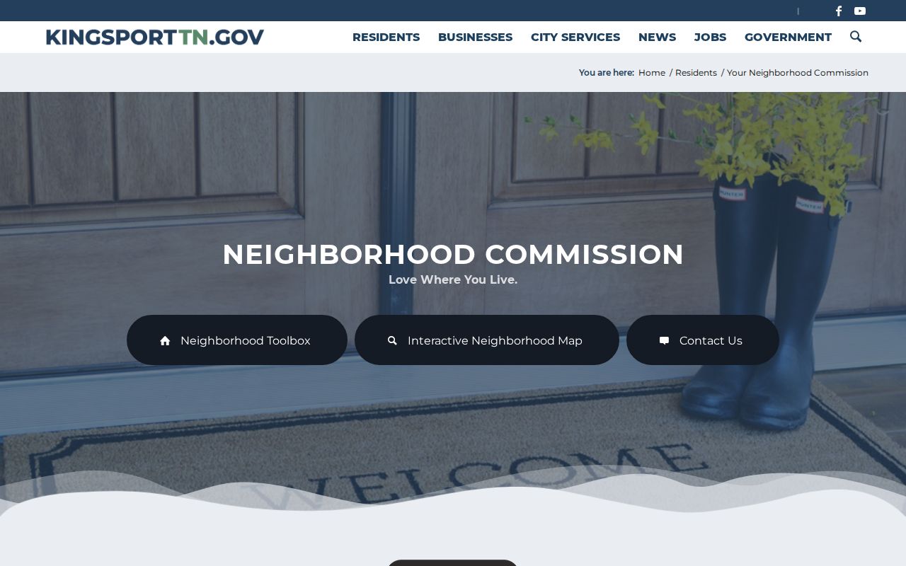
The pause notice matters because public schedules can change. Check the current page before relying on a meeting date or assuming a commission activity is underway.
| Public community layer | What it offers |
|---|---|
| Neighborhood Commission | Public meeting, participation, and map context, subject to the current pause notice. |
| Neighborhood Toolbox | Steps for forming a local association or watch group, with no city-held private membership roll. |
| Kingsport Chamber | Voluntary organization and public contact layer, not an official record of who lives on a block. |
| Kingsport Archives and Palmer Room | Historical community and directory research through public collections, not current household lists. |
Kingsport Neighbor Geography
A neighborhood name, postal label, and city limit do not always describe the same place. Colonial Heights, Lynn Garden, and Bloomingdale appear in Kingsport-area postal references, but a Kingsport mailing label can extend beyond municipal lines. The City’s planning materials also distinguish city limits from the Urban Growth Boundary, while its map collection includes city-limit and annexation-by-decade views. Those maps give useful local context when a block is near a boundary or an older record uses a different place description.
Do not turn that context into an exact neighborhood polygon. The research did not verify a current parcel-level neighborhood boundary for every address. Start with the complete address, confirm its postal assignment separately, and use the parcel and legal description for a property question. For historical work, the 1906 Kingsport plan, older directories, plats, and recorded descriptions can help explain why the same block appears under different geographic terms at different times.
Map a Kingsport Neighbor Block
Use a short, documented path from a known address to nearby parcels. The goal is to identify what the public record actually says about each parcel, not to infer a full list of people. The source sequence also prevents an old deed or directory line from being mistaken for current information.
- Enter the known address in a public Kingsport-area map and record any parcel or map clues visible for that location.
- Visually inspect the surrounding parcel context, then search each possible address or parcel separately in TPAD.
- Read the TPAD fields as assessment data and distinguish the property address from any mailing detail shown on a confirmed parcel card.
- For a recorded transfer or legal boundary question, ask the Register of Deeds for the instrument, plat, or older index-book route tied to that parcel.
When the question expands from one block to every address along a named street, use the fuller chain on the Kingsport street address directory. It follows address, parcel, deed, permit, and historical-directory clues in greater depth.
Kingsport Neighbor Privacy Limits
Many things a person may want to know about nearby people are not public block records. Public sources do not identify every household member, utility customer, motor-vehicle record, private contact detail, protected address, or unrecorded move. Tennessee Safe at Home gives qualifying victims a substitute address for government use and protects the program file. It does not invite attempts to locate the actual address through other public records.
Official records are preferable when a parcel, filing, or civic question needs a source that can be checked with its custodian. Commercial neighbor-lookup services may combine stale or mismatched records, obscure their source dates, and cannot replace an official parcel, clerk, or election record. They should not be used to fill a gap left by a protected or unavailable record.
Note: For an incorrect assessment, election, or recorded document, contact its custodian and keep the original result with the correction response.