
Kingsport Previous Residents by Era
One Kingsport address can leave several kinds of records, and each source covers a different slice of time. Begin with the current parcel identity, then move back through deeds, confirmed directory leads, census material, newspapers, and local archives. The record trail is not a ready-made list of everyone who lived there. It is a series of dated observations that must be compared. The coverage table makes the limits explicit, including the Register of Deeds dates that come from vendor metadata and still need county confirmation.
| Source | Years it covers | Where held | What it shows |
|---|---|---|---|
| TPAD assessment | Current records, displayed tax year 2026 | Online TPAD and Property Assessor | Assessed owner, address, parcel components, subdivision, and sale-date clues |
| Sullivan deed index, vendor metadata lead | Index 1930-2024; images 1980-2024 | US Title Search entry point and Register of Deeds | Grantor, grantee, record date, book or page, and legal-description leads |
| Older Sullivan deed material, vendor metadata lead | Old books 1770-1930; non-indexed deeds 1899-1980 | Register counter and older books | Earlier chain, plat, and instrument leads when an online address search fails |
| Kingsport directory leads | Polk verified 2007-2014; 1934-35 secondary lead | Palmer Room, TSLA, and local archives | Names and residence clues near a publication year |
| Federal census and newspaper files | Census 1790-1930 in named library resources; newspapers from 1916 | Library databases, microfilm, and archives | Family relationships, address clues, announcements, and chronology |
| City permit material | Exact public cutoff not located | eTRAKiT and Building Department counter | Address and project or inspection timing clues |
Note: The online deed dates are a title-search vendor's county-selection metadata, so confirm coverage, image access, and fees with the Register before relying on a cutoff.
Kingsport Parcel Start for Past Residents
For an address-led question, begin with Tennessee Property Assessment Data for Sullivan County. The main search accepts a property address, owner name, or parcel ID. Advanced search can add owner, property address, subdivision, classification, sale dates, control map, group, parcel, and a sort choice. A complete situs address is the cleanest start; a street name without a number can produce more candidate parcels and needs careful review.
TPAD's results identify an assessed owner, property address, control map, group, parcel, special-interest field, parcel ID, subdivision, lot, class, and sale date. It does not identify every person who may have lived at the address. A mailing address may differ from the physical situs address for many reasons, and it should not be treated as proof of residence. For help beyond the public form, the Sullivan County Property Assessor is at 3411 Highway 126, Suite 103, Blountville, with telephone access at (423) 323-6455 during listed weekday hours.
Next, use the Sullivan County GIS viewer to inspect the parcel context. A parcel click may provide an identifier that can be tested in TPAD and then in the deed index. Kingsport's planning maps also instruct users to enter an address, open the layers icon, expand Planning Department Public Layers, and select City Zoning. Map lines are context, not a legal boundary survey.
Sullivan Deed Chain for Kingsport Addresses
The deed chain is the strongest route from a current title holder to earlier recorded transfers. The Sullivan County Register of Deeds is the official custodian for deeds, deeds of trust, liens, plats, easements, releases, assignments, and other real-property instruments. Its office directs users to US Title Search, a framed entry point that may require an account or paid access for fuller use. The live Sullivan form, image rules, document filters, and prices were not captured, so the counter remains an essential access channel.
The Sullivan deed-index entry point is the available online lead for Kingsport previous residents research.
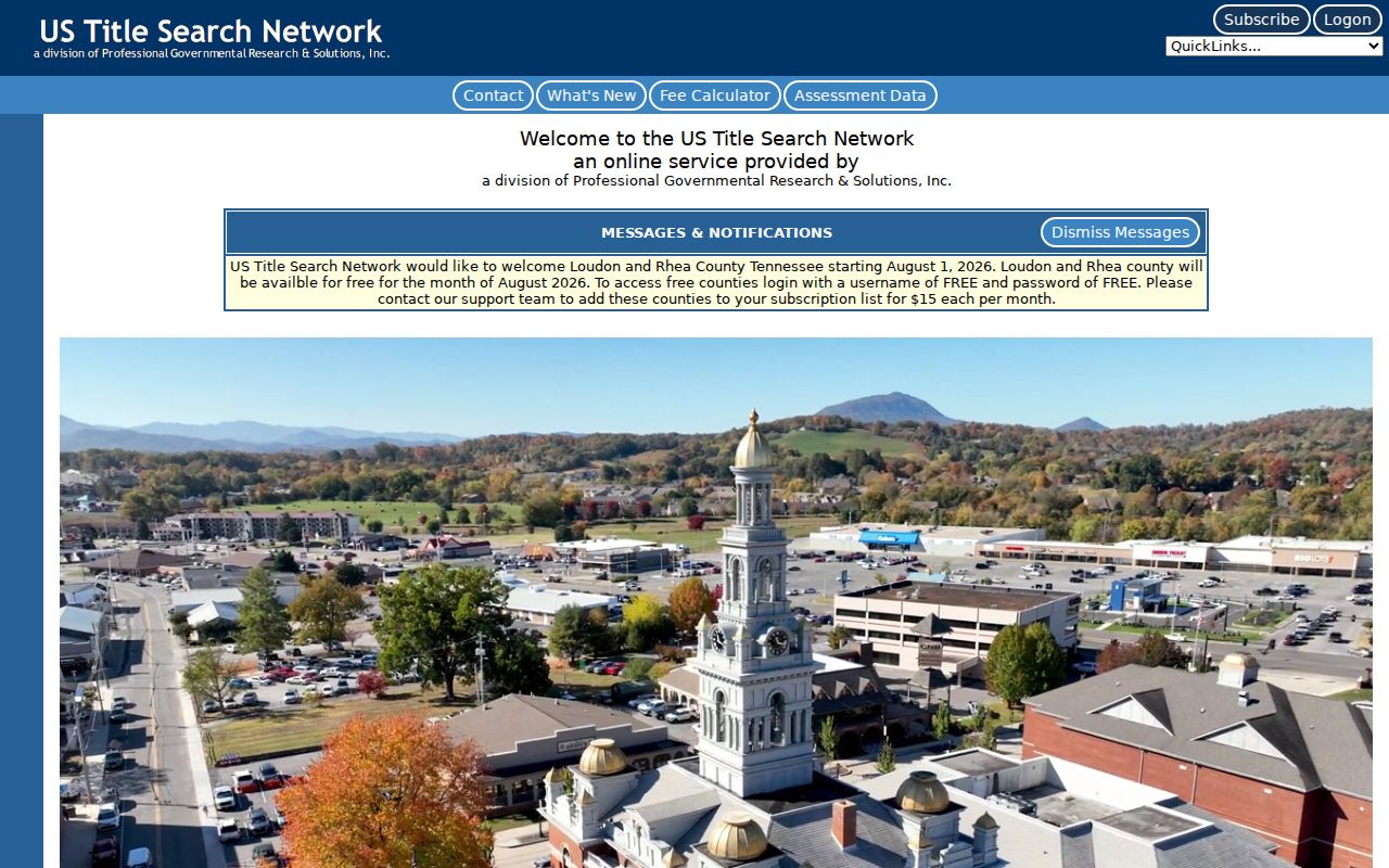
Use the online lead to identify an instrument, then read the official record or ask the Register how to inspect, copy, or certify it. The address may be absent from an older deed, while a lot, block, subdivision, metes-and-bounds description, or prior book and page can connect the same property across time.
- Find the current assessed owner and parcel components in TPAD, then retain the legal-description clues.
- Search that person or entity as grantee to locate the instrument by which title was acquired.
- Read the grantor, recording date, book or page, legal description, and prior-instrument reference where shown.
- Search the earlier seller as grantee, including spouse, estate, trustee, entity, and name variants when the record calls for them.
- Repeat backward, then request older index books, plat books, or the non-indexed material when the vendor's online lead ends.
The Register is at 3411 Highway 126, Suite 101, Blountville, and lists (423) 323-6420 with weekday hours of 8 a.m. to 4:30 p.m. Call ahead for grantor-grantee index books, plat books, image access, or certified-copy procedure. The vendor metadata reports index information from January 1, 1930 through July 31, 2024, and images from July 1, 1980 through July 31, 2024. Those dates must be confirmed by the county.
Kingsport Legal Descriptions Outlast Addresses
Street addresses change more easily than the legal description recorded in a deed. A situs address is the physical location assessed or served. A mailing address is where tax notices are sent. A legal description is the lot, block, subdivision, metes-and-bounds language, or prior reference used to identify real property in a deed. The assessment control map, group, and parcel are another useful identifier, but they are not the deed's legal description.
- Grantor
- The party conveying an interest in the instrument. Search the name as a prior grantee to keep the chain moving backward.
- Grantee
- The party receiving the recorded interest. A current owner often appears first in the chain as a grantee.
- Chain of title
- The ordered sequence of recorded transfers and related instruments for the same property, checked through the legal description.
- Legal description
- The recorded property identifier, such as lot and block or metes and bounds, that can survive a street spelling or numbering change.
A named street is not a legal boundary. A corner parcel can have a different facing address, and a plat can show the lot relationship more clearly than a current street search. Kingsport planning and map-gallery layers can help compare annexation, zoning, city limits, and tax-map context, but the City warns that its GIS products are not warranted for parcel boundaries or dimensions.
Note: Keep the address, parcel identifier, and legal description together in research notes because each answers a different part of the historical trail.
Kingsport Past Residents in Directories and Census
Deeds track title, not every household. To learn who lived at a Kingsport address near a date, compare directory and telephone-book material with released census records and newspaper notices. The Palmer Room holds city directories, telephone books, census microfilm, marriage and death indexes, local maps, and newspapers. Exact reverse or criss-cross directory runs are not published online, so ask staff for the volume title, date, and abbreviation key. The collection detail and reading method are available through the Kingsport city directory collections.
Federal census material in the library's named resources reaches 1790 through 1930, subject to the release rule and source access. The 1890 federal census is generally lost. That gap makes the 1880 and 1900 censuses, deeds, directories, newspapers, probate, and the local 1891 male-voter enumeration especially valuable as a combined trail. No single item proves every relationship, residence, or move.
- Copy the address and name exactly from the confirmed directory or telephone-book line.
- Compare the closest released census year for age, birthplace, and family relationship clues.
- Search local newspapers by surname plus street, church, neighborhood, funeral home, or initials.
- Use a death, marriage, probate, or cemetery lead to test an apparent move or disappearance.
A listing that vanishes may reflect a move, death, name change, omitted entry, or simply a missing volume. Treat the change as a lead that needs another dated record.
Kingsport Records That Date an Address
Permit, newspaper, and probate material can anchor a period between deed transfers. Kingsport eTRAKiT exposes modules for permit, planning, property, inspection, license, and violation searches. Address and date information may reveal a project or inspection chronology, but the live form fields and its public coverage cutoff were not captured in the research. For an offline alternative, the Building Department is on the first floor of 415 Broad Street and lists (423) 229-9393, with counter hours of 8 a.m. to noon and 1 p.m. to 5 p.m.
Kingsport Library newspaper microfilm starts in 1916 and continues to the present. Newspaper Archive identifies local Kingsport newspapers for 1916 through 1977 and begins remote access through the library webpage. These sources can date an announcement, public notice, obituary, or address mention. OCR and newspapers can be wrong, so compare a promising notice with a clerk, vital-record, or probate source when it matters.
For an estate trail, the Sullivan Chancery and Probate Clerk and Master is the appropriate custodian for wills, estate files, heir petitions, and related orders. The Kingsport office is at 225 West Center Street, (423) 224-1726. Ask the clerk what may be inspected and whether a specific older file is off-site or restricted.
Old Kingsport Alters Past Addresses
Address continuity has a local geography problem. Kingsport was first chartered in 1822, lost its original charter in 1879, and received a second charter in 1917. The early Old Kingsport area around the Netherland Inn and Holston River is not the same as the modern municipal footprint. Later annexations and the city's small Hawkins County footprint add another reason to check the relevant county custodian before assuming a parcel sits in one records system.
The City's 1906 Kingsport plan, annexation-by-decade map, city-limit map, and tax-map index can help reconcile historical labels. The 1916 and 1925 Sanborn sheets can show structure context, yet they do not identify a resident or establish title. Sullivan County's 1863 courthouse fire is documented, but official research has not identified which record series were damaged or rebuilt. Ask TSLA or county archive staff before claiming that a particular missing deed or directory resulted from the fire.
Note: A Kingsport postal label, current city limit, and county tax jurisdiction can describe different geographies for the same historical address.
Close a Kingsport Previous Residents Trail
When the online trail stops, use the documented fallback chain. Call or visit the Register for older grantor-grantee, deed, and plat books. Use the Palmer Room for directory, telephone-book, census, map, and newspaper material. Contact Kingsport Archives for appointment research in its people, organization, and non-current city-record collections. A detailed Tennessee Public Records Act request can be directed to the custodian for a specific existing record, but the custodian is not required to create a new address history.
Record what each source proves and what it does not. The best result is a dated chain of independently checked records, not a guess based on one name or one address. If a parcel lies near the city edge, check whether it belongs with Sullivan or Hawkins County before requesting older material.
Lawful use. Kingsport past-residents research is suited to family history, estate questions, and personal property history. Do not use names or addresses to threaten, follow, intimidate, repeatedly contact, or harm anyone; Tennessee law addresses stalking in T.C.A. §39-17-315 and harassment in T.C.A. §39-17-308.